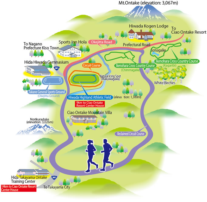
Okejitta Hiwada Kogen Zone
Information of Each Course
Click photographs to enlarge.
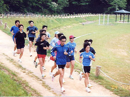
- Ikenohara Cross Country Course (Kagaribi)
-
- Elevation: 1,400m
- 1 Lap: 2km
- Two 3m-width courses
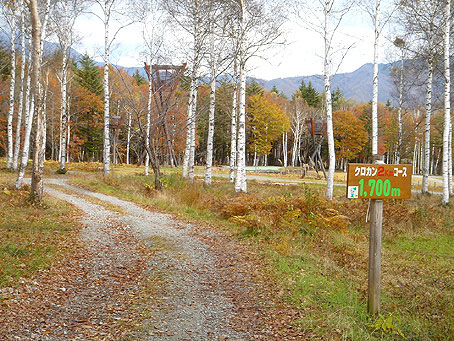
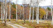
- Ikenohara Cross Country Course (Chinmagaike)
-

- Elevation: 1,400m
- 1 Lap: 1.5km
- Width: 3m

- Hiwada Highland Athletic Field
-
- Elevation: 1,300m
- Three all-weather lanes (100m track six lanes)
- (All courses are planned to be six-lane in 2015.)
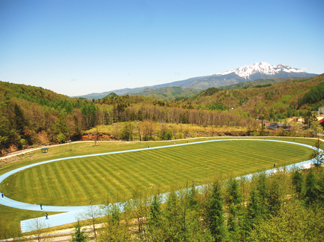
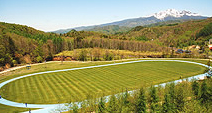
- Circuit Course
-

- 1 Lap: 550m
- Pioneering Circuit Course
-
- Elevation: 1,200-1,400m
- 1 Lap: 8km
- Width: 3-6m

- Hida Hiwada Gymnasium
-
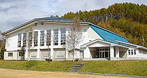
- Elevation: 1,300m

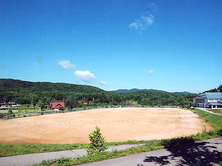
- Takane General Sports Ground
-
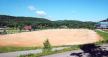
- Elevation: 1,300m
- 400m dirt track
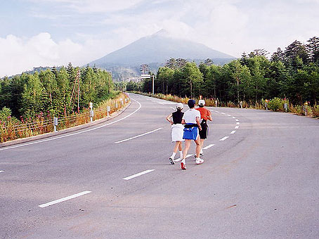
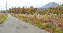
- Okejitta Road
-
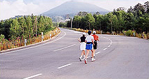
- Elevation: 1,300-1,800m
- Total length: 9km
- Width: 6m
- Asphalt paved course